In 1985, he led a team to search for mines in the Xinjiang Gobi for five years and discovered 18.8 tons of gold. In 2008, "SOS700" was deployed urgently 2 minutes after the Wenchuan earthquake, and remote sensing found that "SOS700" rescued 700 people. In 2026, he received the International Astronautical Federation's "Hall of Fame" award. From "looking for minerals" to "rescuing people" to "serving the world", he spent 40 years letting China's "eyes in the sky" see the world that others cannot see. In May 2026, the President of the International Astronautical Federation sent a letter to Guo Huadong, an academician of the Chinese Academy of Sciences: I will award you the 2026 IAF "Hall of Fame" Award in recognition of your outstanding contributions to the field of aerospace throughout your life. This is a lifetime achievement honor in the global space industry. The starting point of this honor was the Gobi Desert in Altay, Xinjiang in 1985. In 40 years, he has given China a "sky eye" to overlook the earth. 1. Gobi years: 5 years of prospecting, 18.8 tons of gold Guo Huadong was born in 1950 and is an academician of the Chinese Academy of Sciences. In the 1980s, there was a gap in the supply of domestic mineral resources, and resource exploration became a key research direction in the geological field. In 1985, the National "Seventh Five-Year Plan" major scientific and technological research project 305 was implemented. Guo Huadong took the lead in forming a 46-person remote sensing exploration team and stationed in the Xinjiang Altay Gobi to carry out field exploration work. At that time, the mainstream exploration methods in the industry relied on on-site exploration with geological hammers and compasses. Many traditional geological practitioners were skeptical of the path of satellite remote sensing for mineral prospecting and did not recognize that long-distance remote sensing data could be used for mineral exploration. During the five-year project implementation cycle, the team’s field operations followed local
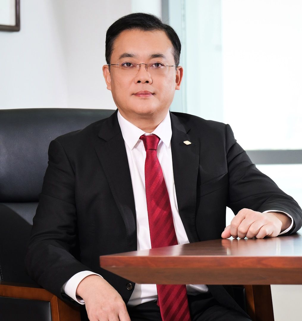
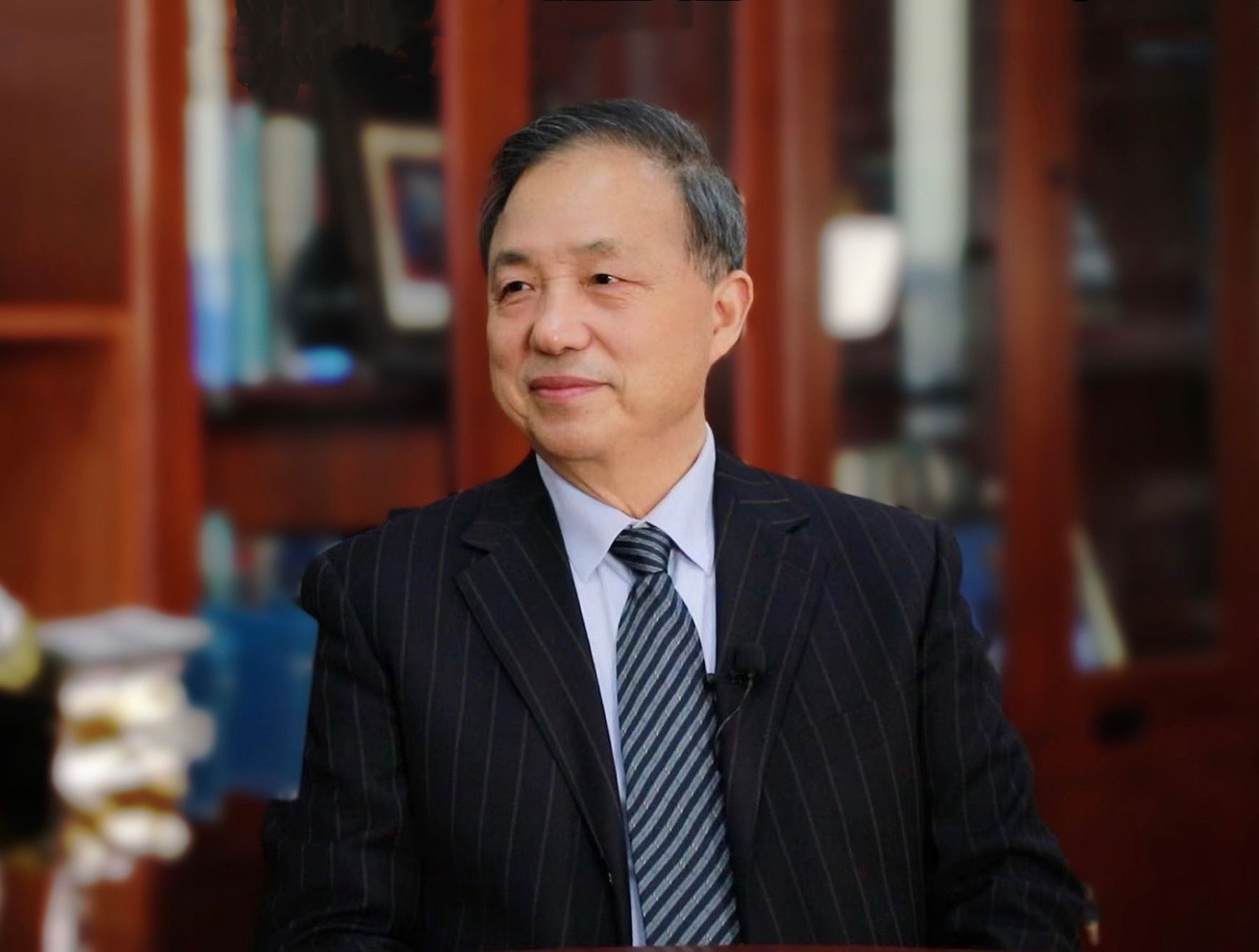
Guo Huadong
Asia Cover Character | Guo Huadong: From prospecting in the Gobi to satellite services for 116 countries, he spent 40 years polishing China's "eyes in the sky"
Asia's "Cover Man" Magazine·Pattern
Total Issue 059-ACF-2026
【Abstract】
In 1985, he led a team to search for mines in the Xinjiang Gobi for five years and discovered 18.8 tons of gold. In 2008, "SOS700" was deployed urgently 2 minutes after the Wenchuan earthquake, and remote sensing found that "SOS700" rescued 700 people. In 2026, he received the International Astronautical Federation's "Hall of Fame" award. From "looking for minerals" to "rescuing people" to "serving the world", he spent 40 years letting China's "eyes in the sky" see the world that others cannot see.
In May 2026, the President of the International Astronautical Federation sent a letter to Guo Huadong, an academician of the Chinese Academy of Sciences: I will award you the 2026 IAF "Hall of Fame" Award in recognition of your outstanding contributions to the field of aerospace throughout your life.
This is a lifetime achievement honor in the global space industry.
The starting point of this honor was the Gobi Desert in Altay, Xinjiang in 1985.
In 40 years, he has given China a "sky eye" to overlook the earth.
1. Gobi years: 5 years of prospecting, 18.8 tons of gold
Guo Huadong was born in 1950 and is an academician of the Chinese Academy of Sciences. In the 1980s, there was a gap in the supply of domestic mineral resources, and resource exploration became a key research direction in the geological field. In 1985, the National "Seventh Five-Year Plan" major scientific and technological research project 305 was implemented. Guo Huadong took the lead in forming a 46-person remote sensing exploration team and stationed in the Xinjiang Altay Gobi to carry out field exploration work.
At that time, the mainstream exploration methods in the industry relied on on-site exploration with geological hammers and compasses. Many traditional geological practitioners were skeptical of the path of satellite remote sensing for mineral prospecting and did not recognize that long-distance remote sensing data could be used for mineral exploration. During the five-year project implementation cycle, the team's field operations followed local climatic conditions, completing field surveys and sampling during the day, and relying on temporary tents to sort and analyze remote sensing image data returned by satellites at night.
After five years of systematic exploration, the team relied on remote sensing technology to identify 18.8 tons of industrial gold reserves and simultaneously identified 70 tons of prospective gold reserves. Relying on complete exploration practice, Guo Huadong sorted out the "Trilogy of Remote Sensing Prospecting" standardized research methods to provide a reusable technical paradigm for similar domestic remote sensing exploration projects of minerals.
During the interview, Guo Huadong once said: "The motherland has provided me with a great opportunity. What kind of contribution should I make to the country?"
Others use hammers to find minerals, but he uses satellites to find minerals.
The first beam of light from the Sky Eye shone into the depths of the Gobi.
2. Wenchuan moment: 2 minutes after the earthquake, "SOS700"
At 14:28 on May 12, 2008, a severe earthquake occurred in Wenchuan. Guo Huadong, then director of the Center for Earth Observation and Digital Earth Science of the Chinese Academy of Sciences, initiated the emergency dispatch process within two minutes after the earthquake news was confirmed, and coordinated the entire department to enter the remote sensing support work for disaster relief.
Under his coordination and dispatch, multiple domestic remote sensing satellites in orbit adjusted their observation trajectories, and multiple high-altitude remote sensing aircraft were simultaneously deployed on standby. On May 15, two aerial remote sensing aircraft flew continuously for 8 hours in a harsh weather environment to complete the first batch of aerial remote sensing image collection in the disaster area, and the first batch of disaster monitoring data was successfully transmitted back to the scientific research center.
On the evening of May 16, while analyzing remote sensing images, scientific researchers captured the red "SOS700" sign marked on the roof of Caopo Township Primary School in the image. The signal came from more than 700 disaster-stricken people trapped in the local area. Guo Huadong immediately reported clues to the rescue team, and the ground rescue team rushed to the location according to the coordinates, and all 700 trapped people escaped.
Reviewing this disaster relief application, Guo Huadong left a note: "Without remote sensing, we would not have discovered the distress signal, and we would not have known that there were 700 lives in the mountains waiting to be saved."
The second beam of light from the Sky Eye shone into the ruins.
It is not a cold satellite, it is an eye that can save people.
3. Speed revolution: from 2 days to 2 hours
Relying on the practical experience accumulated from the remote sensing emergency response of the Wenchuan earthquake, Guo Huadong led the team to iteratively optimize the entire domestic remote sensing disaster emergency response operating system, continuously reducing the time-consuming process from the occurrence of the disaster to the implementation of global remote sensing images.
During the Wenchuan earthquake, it took two days from the occurrence of the disaster to obtaining the full-area remote sensing image of the disaster area. During the subsequent Yushu earthquake disaster response, the entire process was shortened to 8 hours. When the Lushan earthquake occurred, the team only took 2 hours to produce complete full-area monitoring images. The actual measurement and implementation of previous major geological disasters has continued to improve the efficiency of remote sensing dispatch, data reception, and image interpretation, and gradually established a domestic standardized remote sensing emergency response system.
Disasters wait for no one, but China's eyes are running faster and faster.
Behind the speed is 40 years of technological accumulation.
4. Silk Road Mission: From China to the World
In 2016, Guo Huadong took the lead in launching the "Digital Silk Road" international science program, relying on my country's mature space Earth observation technology to export remote sensing technology services such as environmental monitoring, geological survey, and natural disaster early warning to countries along the "Belt and Road". As of June 2025, 59 countries in this cooperation project have signed contracts with relevant international organizations to enter the cooperation system, and the project team has established 9 international research centers of excellence around the world.
In 2021, the Sustainable Development Science Satellite 1, with Guo Huadong as the chief scientist, was launched. It is the world's first remote sensing satellite specifically aimed at benchmarking the United Nations 2030 Sustainable Development Goals. The observation data collected by the satellite are open to the world free of charge, and 116 United Nations member states now use satellite resources on a regular basis.
During the seven-year cycle, the team compiled and released 7 "Reports on Big Earth Data in Support of the Sustainable Development Goals". The reports were simultaneously launched on the official website of the United Nations and the release platform of the Ministry of Foreign Affairs of China. Relying on the earth big data science platform built by the project, the cumulative implementation of technical services covers 174 countries and regions around the world.
Talking about the original intention of scientific research, Guo Huadong said: "We live on the earth, how can we contribute to its healthy development? This is the mission of our remote sensing people."
The third beam of light from the Eye of Heaven shines on the whole world.
China Sky Eye, serving the world.
5. Academician Honors: IAF “Hall of Fame” Award
In May 2026, the International Astronautical Federation officially sent a letter confirming that Guo Huadong will be awarded the 2026 IAF "Hall of Fame" award. This award is an honor for lifetime achievement in the aerospace field. The selection criteria focus on scientific research practitioners who have pioneered and long-term outstanding scientific research achievements in the global aerospace field. According to the conference schedule, the 77th International Astronautical Congress will be held in Antalya, Türkiye, in October 2026, when the official awards ceremony will be held.
There have been doubts in the industry during the scientific research process. Domestic domestic scientific research tasks are heavy, and continuing to invest resources in expanding international cooperation will distract research and development efforts. Guo Huadong gave the answer based on the project implementation results. Scientific research itself has no geographical boundaries, and scientific researchers are based on the local area and rely on self-developed remote sensing technology to simultaneously serve domestic construction and global people's livelihood needs.
Having been deeply involved in the field of remote sensing for decades, he talked about his original intention in the field: "When you are determined to be a scientific researcher and take science as your lifelong career, you can do one experiment a week without going out for three days. With this kind of spirit, you will have faith and perseverance - only by loving deeply can you do well."
In 40 years, he has brightened China’s eyes.
The light of the eye of heaven shines through the Gobi desert and ruins, and shines on the world. Today, it illuminates history.
ending
In 2026, Guo Huadong will be 76 years old.
From the Gobi Desert in Altay, Xinjiang in 1985, to the IAF "Hall of Fame" award in 2026.
From the discovery of 18.8 tons of gold to the implementation of "SOS700" clues, 700 people were saved.
From the implementation of the "Digital Silk Road" cooperation between 59 countries, to the regular use of sustainable development satellite data by 116 countries.
In 40 years, he has given China a "sky eye" to overlook the earth.
And these eyes are still looking further into the future.
Under the eyes of heaven, there are no secrets. There is only life that needs to be protected, and the earth that needs to be protected.
A true scientist does not conquer the starry sky, but makes the starry sky serve mankind.
Data source
About Guo Huadong, born in 1950, academician of the Chinese Academy of Sciences: official website of the State Key Laboratory of Remote Sensing Science.
Regarding winning the IAF "Hall of Fame" award in 2026: The official website of the Chinese Academy of Sciences was released on May 7, 2026; China.com reported on May 6, 2026; Guangming.com reported on May 7, 2026.
Regarding remote sensing prospecting in Xinjiang, 18.8 tons of gold deposits, 70 tons of prospective reserves, and the "trilogy of remote sensing prospecting": Guangming Daily reported on Page 01 on May 17, 2026.
Regarding the emergency deployment of "SOS700" 2 minutes after the Wenchuan earthquake and the discovery of "SOS700" that rescued 700 people: Guangming Daily reported on page 01 on May 17, 2026; reported on the website of the Chinese Academy of Sciences in 2011.
Regarding the disaster relief response speed from 2 days in Wenchuan to 2 hours in Lushan: Guangming Daily reported on page 01 on May 17, 2026.
Regarding the "Digital Silk Road" plan, cooperation between 59 countries and 9 international research centers of excellence around the world: China News Network reported on October 24, 2024.
Regarding the Sustainable Development Science Satellite 1 (SDGSAT-1), used by 116 United Nations member states: Science and Technology Daily reported on May 7, 2026; CCTV News reported on May 7, 2026.
Report on the Earth Big Data Science Platform serving 174 countries and regions, 7 departments in 7 years: reported by Outlook on November 13, 2021; reported by Guangming Daily on Page 01 on May 17, 2026.
Regarding Guo Huadong's original words, "Only if you love deeply can you do well", "The motherland has provided me with great opportunities", etc.: Guangming Daily reported on Page 01 on May 17, 2026.
About the award ceremony to be held in October 2026 at the 77th International Astronautical Congress in Antalya, Türkiye: IAF official website.
[1] Official website of the Chinese Academy of Sciences, www.cas.cn
[2] "Guo Huadong: In-depth analysis of industries related to the Chinese Academy of Sciences", Scientific Research Progress and Academic Report of the Chinese Academy of Sciences
[3] Compilation of Guo Huadong’s public speeches and media interviews