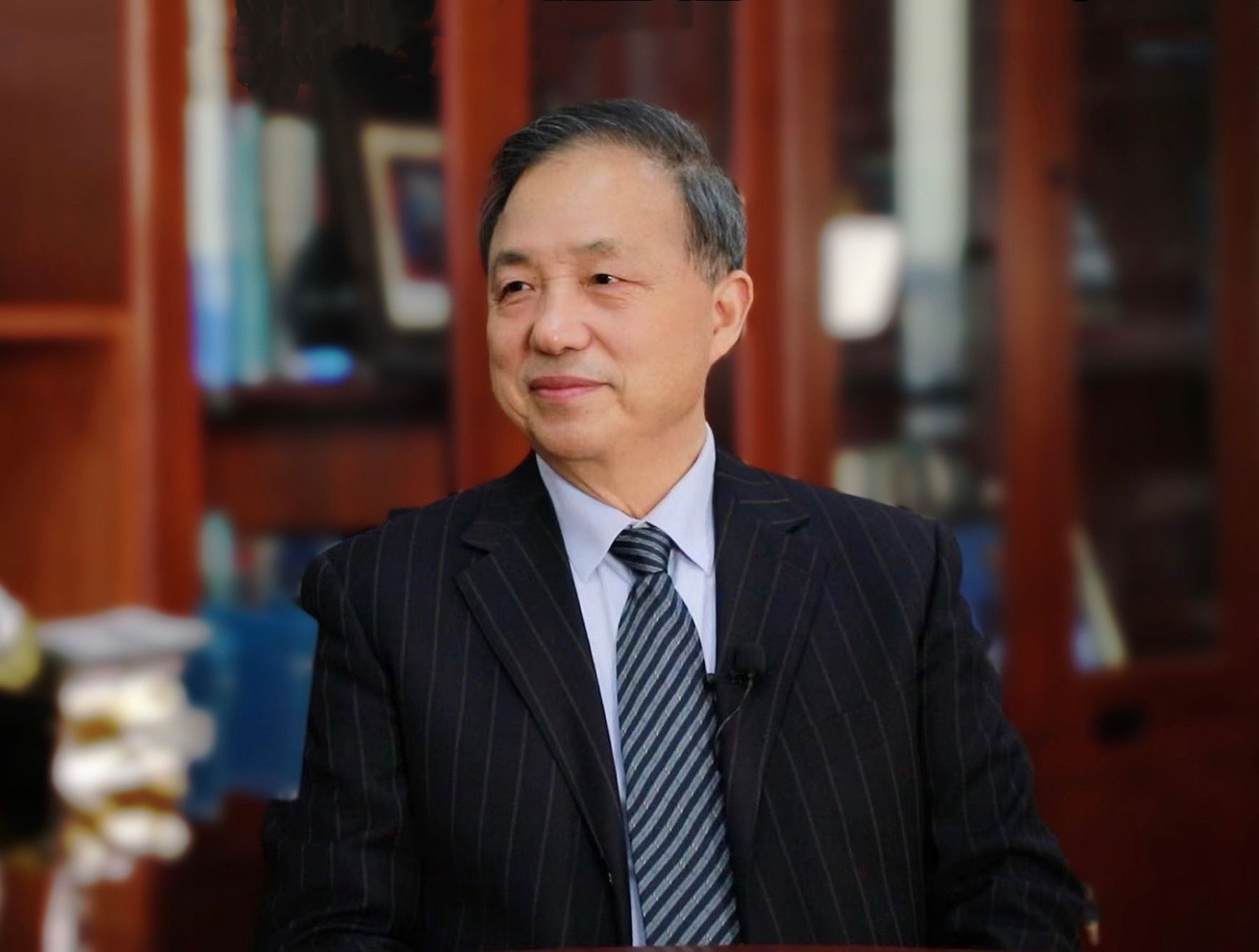
Guo Huadong's archival value lies in his demonstration of a pattern of embedding personal scientific research into national and contemporary needs. From Gobi prospecting to Wenchuan rescue and global service, each of his turns was not chasing trends but responding to real challenges facing the nation and humanity. He brought remote sensing from the lab to disaster frontline, from domestic to international, proving over 40 years that a true scientist does not conquer the stars but makes them serve humanity. This mindset, transcending personal gains and taking the world as one's responsibility, is the spiritual sample that the 'Pattern' column aims to preserve.
Guo Huadong was born in 1950 and has long been engaged in remote sensing science and Earth observation research, currently serving as an academician of the Chinese Academy of Sciences. At that time, traditional geological exploration relied on hammers and compasses, and satellite remote sensing for mineral prospecting was questioned. The team conducted field surveys during the day and analyzed satellite images at night, identifying 18.8 tons of industrial gold reserves over five years, and summarized the 'Trilogy of Remote Sensing Prospecting', providing a reusable technical paradigm for similar domestic projects. [2] After the 2008 Wenchuan earthquake, Guo Huadong, then director of the Center for Earth Observation and Digital Earth, initiated emergency dispatch within two minutes of confirmation, coordinating multiple satellites to adjust orbits and multiple remote sensing aircraft to stand by. On May 16, researchers found a distress sign on the roof of Caopo Township Primary School in remote sensing images; Guo Huadong quickly reported it, and 700 trapped people were successfully rescued. [3] Subsequently, he accelerated disaster response from 2 days in Wenchuan to 8 hours in Yushu and 2 hours in Lushan, gradually establishing a standardized remote sensing emergency response system. [2] In 2016, Guo Huadong initiated the 'Digital Silk Road' international science program, with 59 countries and international organizations participating by June 2025, and 9 international centers of excellence established. [4] In 2021, the Sustainable Development Science Satellite 1, with him as chief scientist, was launched, with data openly available to 116 UN member states. [5]
Guo Huadong's scientific philosophy has always centered on 'benefiting humanity with remote sensing technology.' During mineral prospecting in Xinjiang, he defied traditional skepticism and insisted on using satellite remote sensing, ultimately proving its value with results.' [3] He promoted a rapid response system, reducing disaster image acquisition time from 2 days to 2 hours, reflecting the urgency that 'disasters wait for no one.' [2] In the 'Digital Silk Road' initiative, he emphasized that science knows no borders, advocating the export of China's mature Earth observation technology to Belt and Road countries to serve global environmental monitoring and disaster warning. [4] The Sustainable Development Science Satellite 1, with him as chief scientist, provides open data to 116 UN member states, practicing the concept of 'space information serving everyone.' [5] He once said, 'We live on Earth; how can we contribute to its healthy development? This is the mission of remote sensing scientists.' [2] This philosophy, integrating personal scientific pursuits with national needs and global welfare, has run through his decades-long career.
Guo Huadong's contributions go beyond technological breakthroughs; he expanded remote sensing from 'mineral prospecting' to 'disaster rescue' and 'global service,' profoundly impacting Earth observation in China and worldwide. His 'Trilogy of Remote Sensing Prospecting' provided a new paradigm for domestic mineral exploration, promoting the application of remote sensing in resources. [2] The rescue case in the Wenchuan earthquake demonstrated the immense value of remote sensing in disaster emergency response, prompting the state to establish a remote sensing emergency system. [3] The 'Digital Silk Road' initiative he led promoted scientific cooperation between China and Belt and Road countries, enhancing China's influence in international Earth observation. [4] The pioneering SDGSAT-1 positioned China at the forefront of monitoring the UN Sustainable Development Goals, and its open data sharing showcased China's global responsibility. [5] Industry insiders believe that Guo Huadong, over 40 years, gave China a 'sky eye' to overlook the Earth, and this eye looks not only at China but also at the world, contributing to the common welfare of humanity.
The business proposition Guo Huadong leaves behind is how technology can transcend boundaries and serve humanity. He proved that remote sensing can not only find minerals but also save lives and serve the globe, with value far exceeding economic returns. The 'Digital Silk Road' and SDGSAT-1 he promoted provided Chinese solutions for global governance, inspiring future generations that the ultimate goal of technological innovation is not technology itself but human well-being. His era significance lies in advancing Chinese remote sensing technology from following to running alongside internationally, and showing the world the pattern and responsibility of Chinese scientists.